Data Zone
Country/territory: Tanzania
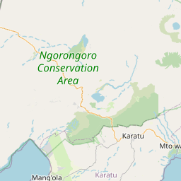
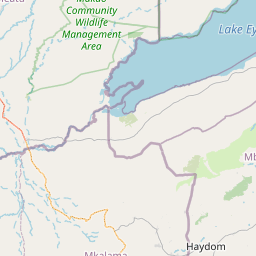
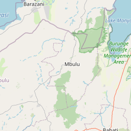
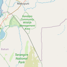
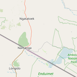
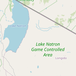
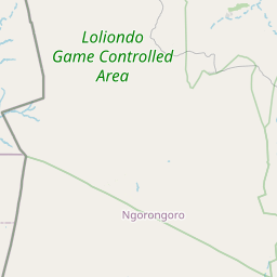
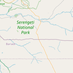
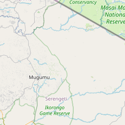
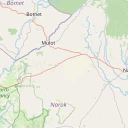
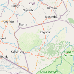
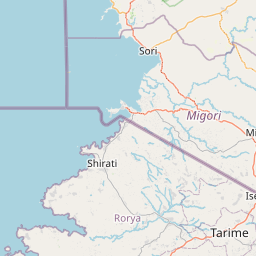
Subnational regions: Arusha; Shinyanga
Central coordinates (latitude / longitude): 03°02'49"S / 035°23'13"E (-3.0470° / 35.3870°)
Area (reported): 840,116 hectares / 8,401.16 km2 / 2,075,972 acres / 3,243.70 square miles
Altitude:
1030–3648 m (3,380–11,970 ft)
Recommended citation
BirdLife International (2025) Important Bird Area factsheet: Ngorongoro Conservation Area (Tanzania). Downloaded from
https://datazone.birdlife.org/site/factsheet/ngorongoro-conservation-area-iba-tanzania on 12/01/2025.